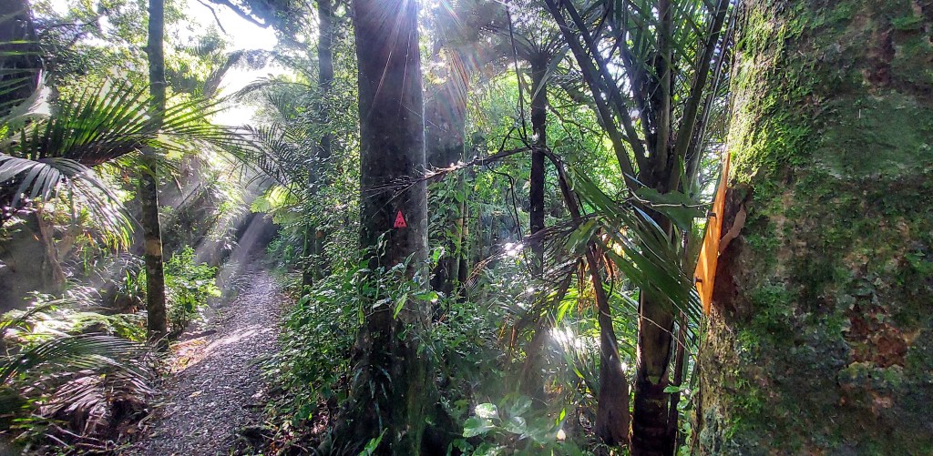
This is the second blog post that revisits some essays I wrote as a part of last year’s Massey University paper on Māori Resource and Environmental Management (Whenua). The first blog post explored whakapapa through pākehā eyes looking into te ao Māori. Concepts were fleshed out by delving into academic literature. In this post, I continue threading my way through socio-cultural and physical terrains, heading a little deeper into what makes connection to place, land and landscape.
For Māori, connection to the whenua, the landscapes of Aotearoa, has evolved from close to a millennium of living on, in and with the land. Maintaining this connection is essential for hauora, health and wellbeing (Moewaka Barnes and McCreanor, 2019) – survival at it’s most fundamental. Connection to a specific place is embodied as tūrangawaewae, literally translated as “a place to stand”. This is the right of an individual to live in a place, intimately connected through their whakapapa. However, connection is more than the human and spiritual relationship to whenua, it is the reciprocal connection of the land itself to humankind.
Cultural phraseology: multiple connections
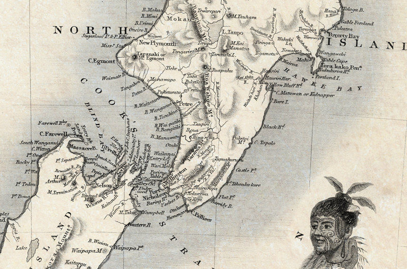
A name on a map speaks to when a special feature or a moment in time is cemented to place as a cultural layer. The shifting landscape, eroding geology and changing biota are marked so that we can navigate by them, recall history and strengthen our connection to them. During periods of discovery and exploration by Māori, tapa whenua, naming the land took place and in the process, claims to areas were made. Some names featured individuals or body parts e.g., Te Takapū-o-Tapuika, Tapuika’s belly (an area of plains), events e.g., the full name of Rangitoto Island is Te Rangi-i-totongia-ai-te-ihu-o-Tamatekapua (the day that Tamatekapua had a bloody nose) or distinctive parts of the landscape such as Awanui, big river. Chiefs gave their own names, taunaha whenua, to reinforce tribal claims to the land for future generations. Names were also historical or spiritual; designed to celebrate cultural icons or bring Polynesian ancestral names into new settings (Taonui, 2008).
Kia whakatōmuri te haere whakamua – I walk backwards into the future with my eyes fixed on my past
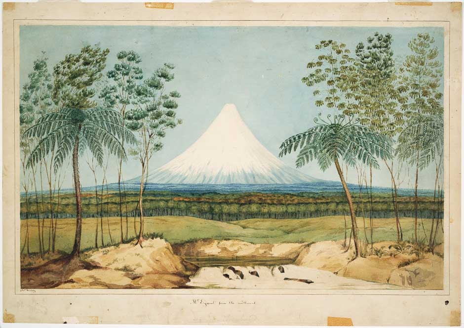
There is a surprising resistance by some to bi-lingualism although the government of Aotearoa NZ continues the policy of bilingual place-naming as a way of reflecting the dual heritage of the motu (Albury & Carter, 2017). In some cases, original names are being restored: when I was a teen, the iconic cone jutting into the Tasman Sea was simply Mt Egmont. This was the name given by explorer James Cook in 1770 to honour the first Lord of the Admiralty. However, in 1986 a shift took place – part of the original name was returned. Now it’s Mt Taranaki, or to the more progressive, Taranaki Mounga. The name Egmont is a relic found on old maps, a slightly embarrassing artifact of less considerate times.
In the next post, I’ll cover a little of the complexities surrounding solidifying land ownership in the post-colonial settlement era. It’s a hugely complex topic so what I present will only cover a sliver of a relatively short, but complex history.
Further reading
Albury, N & Carter, L. 2017. A typology of arguments for and against bilingual place-naming in Aotearoa New Zealand. Journal of Multilingual and Multicultural Development 38(9):1-12. DOI:10.1080/01434632.2016.1275654
Moewaka Barnes, H., and McCreanor, T. (2019). Colonisation, hauora and whenua in Aotearoa. Journal of the Royal Society of New Zealand 49(sup1), 19–33. https://doi.org/10.1080/03036758.2019.1668439
Taonui, R. (2008). Tapa whenua: Naming places. Te Ara – the Encyclopedia of New Zealand. http://www.teara.govt.nz/en/tapa-whenua-naming-places/page-1